")
")

Natural resources, land use and land-use change mapping
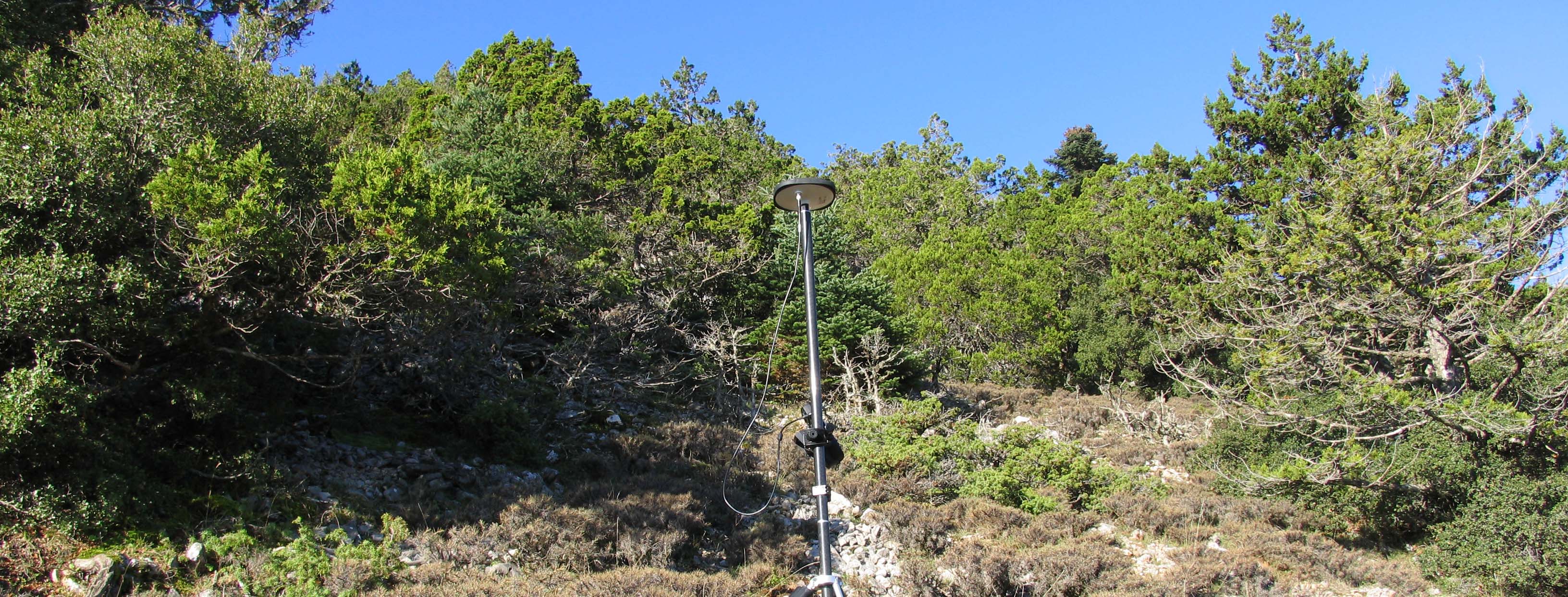
Cartography is the discipline of geography that entails the creation of technical, or even artistic works relating to the representation of a part or the entirety of the earth's surface for the preparation and production of maps. The art of mapping is achieved by various methods and results in map projections.
Forest maps
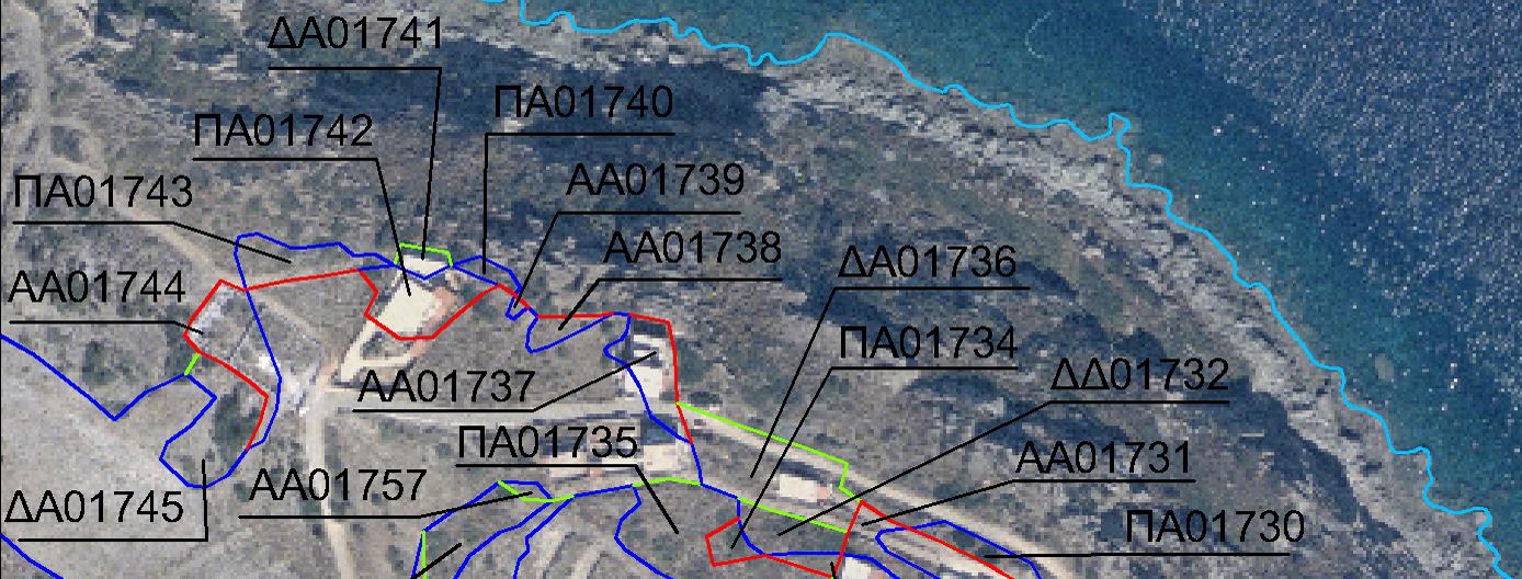
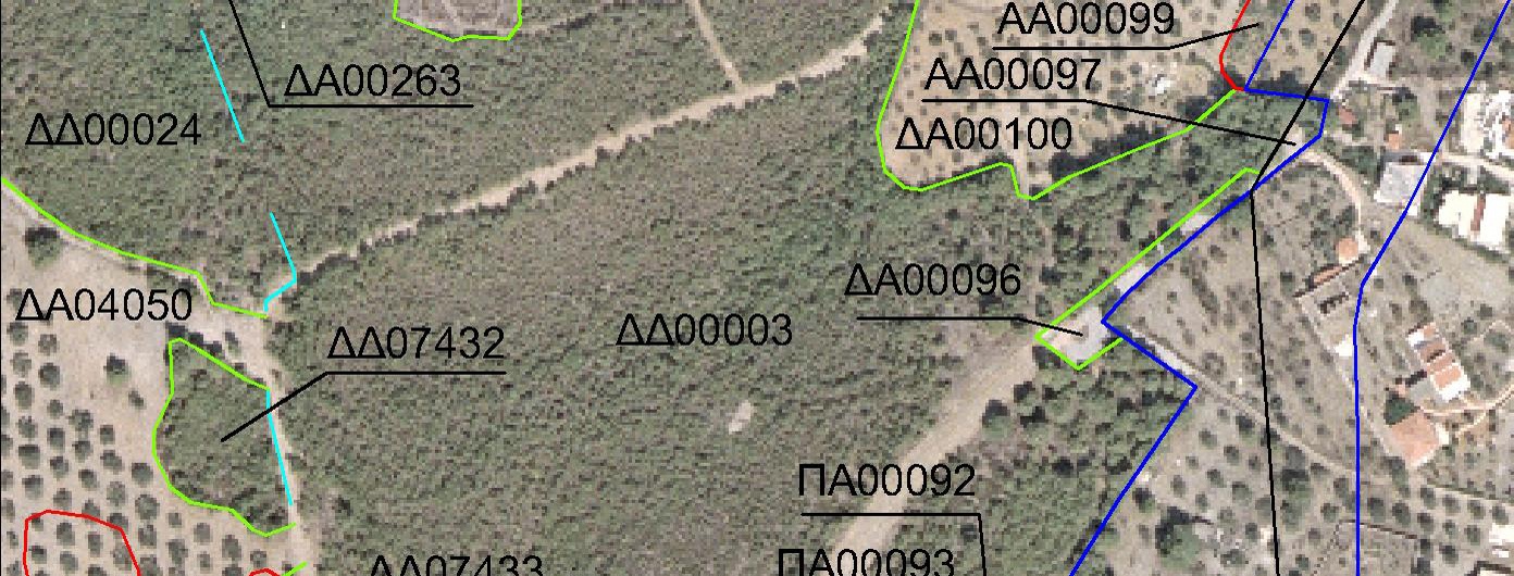
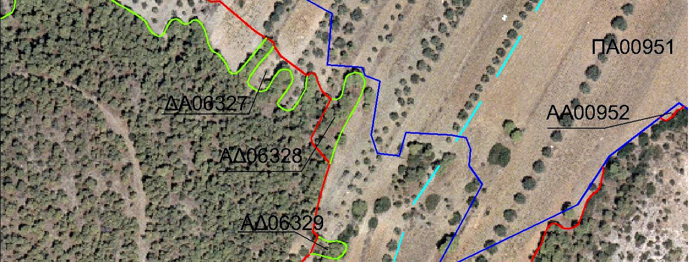
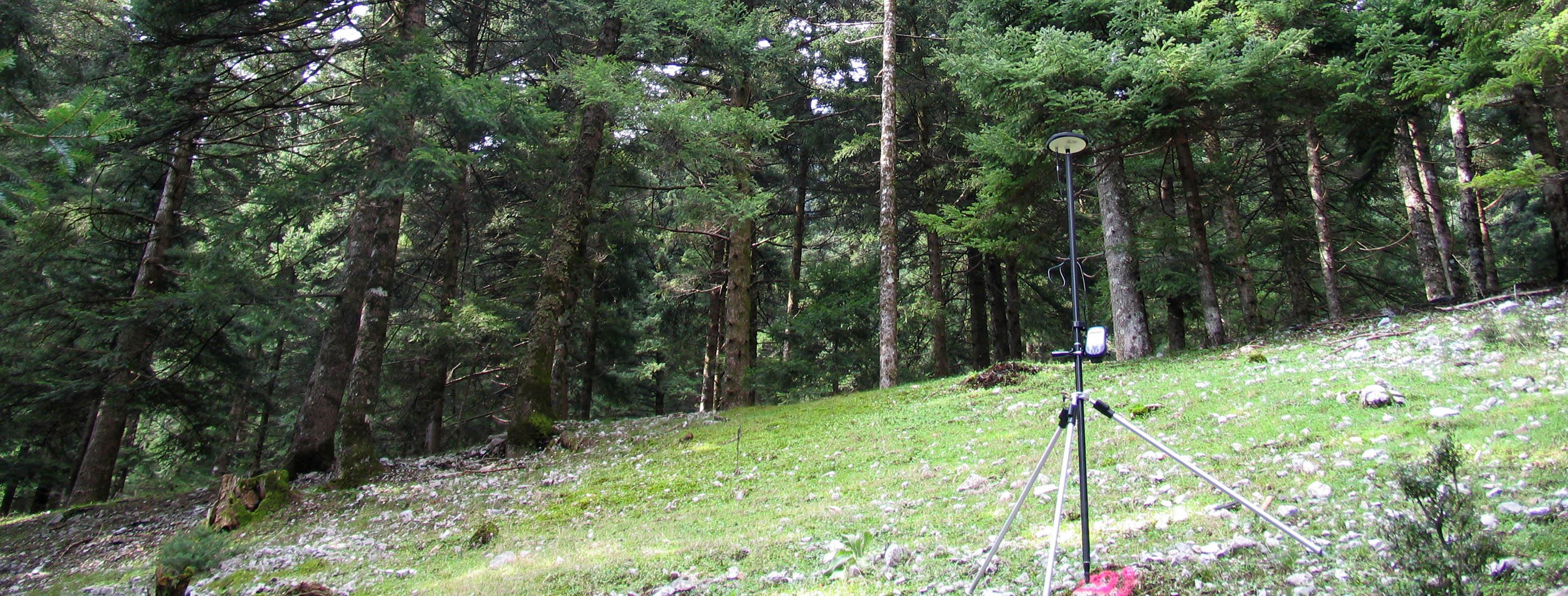
Forest maps are considered to be the foundation for the Cadastre forest project, within the context of the national Cadastre project, and an indispensable tool for the protection of the natural environment. The overall objective is the demarcation of the country’s forest and grassland areas in a transparent manner; while the publication of provisional forest maps enables individuals or legal entities to submit any objections to the content. This work requires significant expertise and knowledge of the legislation and technical standards relating to forest maps.
Forest map projects are one of the main activities that ACCEL carries out. The company has participated in the production of forest maps for large areas of Greece, producing consistent quality work in accordance with strict deadlines.
Land-use/cover classification
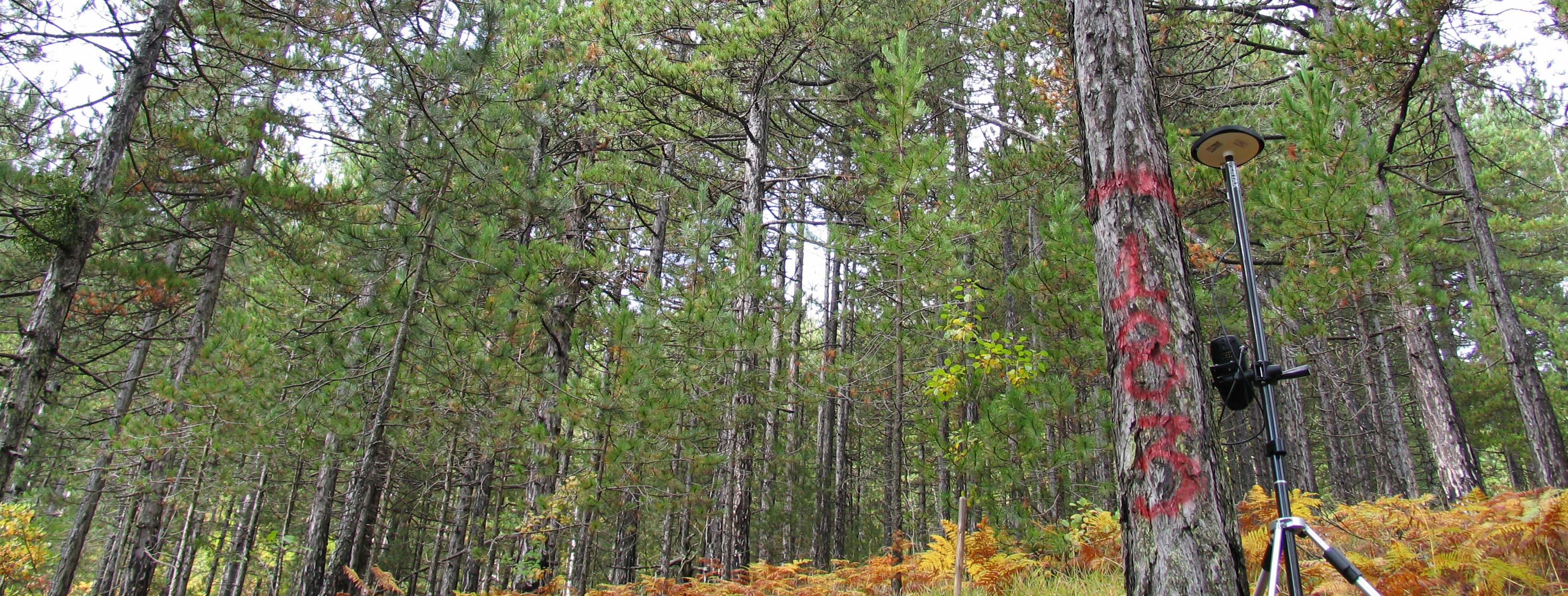
According to current forest legislation, until the ratification of these forest maps there is a need for land cover certificates issued by the relevant Forest Service for a variety of different purposes. ACCEL conducts studies with regard to land use/cover classification (forest, non-forest), property identification, etc., via aerial photos and satellite-image interpretation.